Discover the Adventurous World of Robert de La Salle: Top 10 Fun Facts Unveiling His Thrilling Journey

1. Chinese Takeout Dreams & America's Delivery Route
While Robert de La Salle's heart longed for finding the finest Chinese takeout, he ended up stumbling upon America's own "delivery route" instead: In 1682, he discovered and claimed the mouth of the mighty Mississippi river, extending New France's territories, but sadly missed out on entering the "Niagara Falls fan club" – as the famous falls were already well-known to Native Americans and previous explorers.
Source => historymuseum.ca
2. Sword, Basin, and Louis XIV's Chromolithograph Moment
The moment Robert de La Salle claimed a whole lot of land, sword in hand, and exclaimed, "Hey, Louis XIV, I got you a basin, and your color is even in the name!": In 1682, the French explorer Robert de La Salle claimed the Mississippi River basin for France, naming it La Louisiane in honor of Louis XIV, and the moment of that declaration was captured in a chromolithograph made for the Louisiana Purchase Exposition in 1904.
Source => encyclopediavirginia.org
Did you know that Viking explorer Leif Erikson reached North America 500 years before Columbus? Discover the fascinating story behind Vinland and how Leif's achievements earned him a special celebration day! 🌎🍷🎉
=> Fun Facts about Explorers
3. Ahoy, Shipbuilding Landlubber La Salle!
Ahoy, landlubbers! Don't let Robert de La Salle's love for terra firma fool you into underestimating his maritime prowess: This adventurous Frenchman not only pioneered settlements on dry land but also turned out to be a crafty shipbuilder, overseeing the construction of the Le Griffon - a whopping 54-ton vessel that became the first European ship to slice through the waves of the Great Lakes in 1679.
Source => tshaonline.org
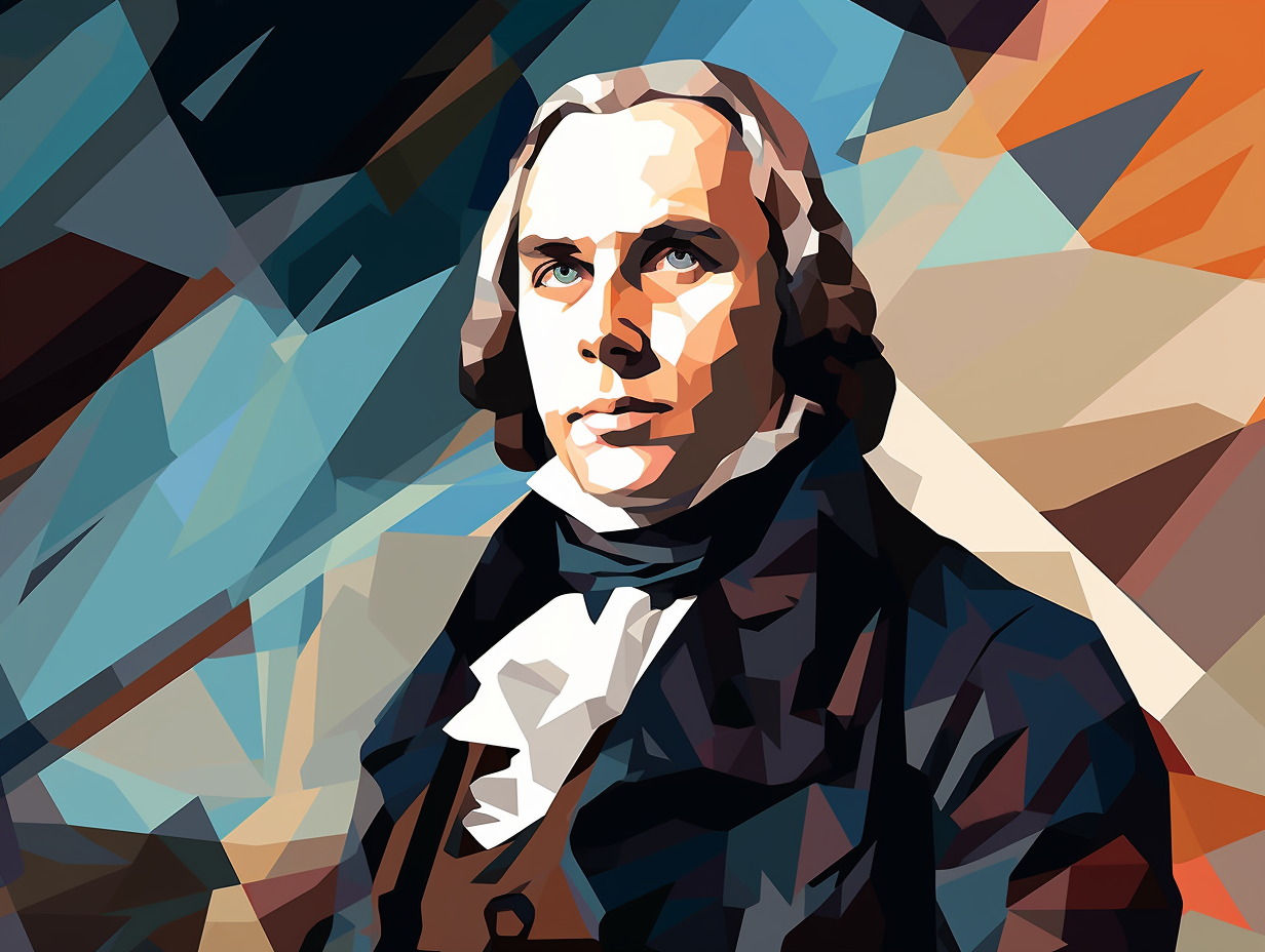
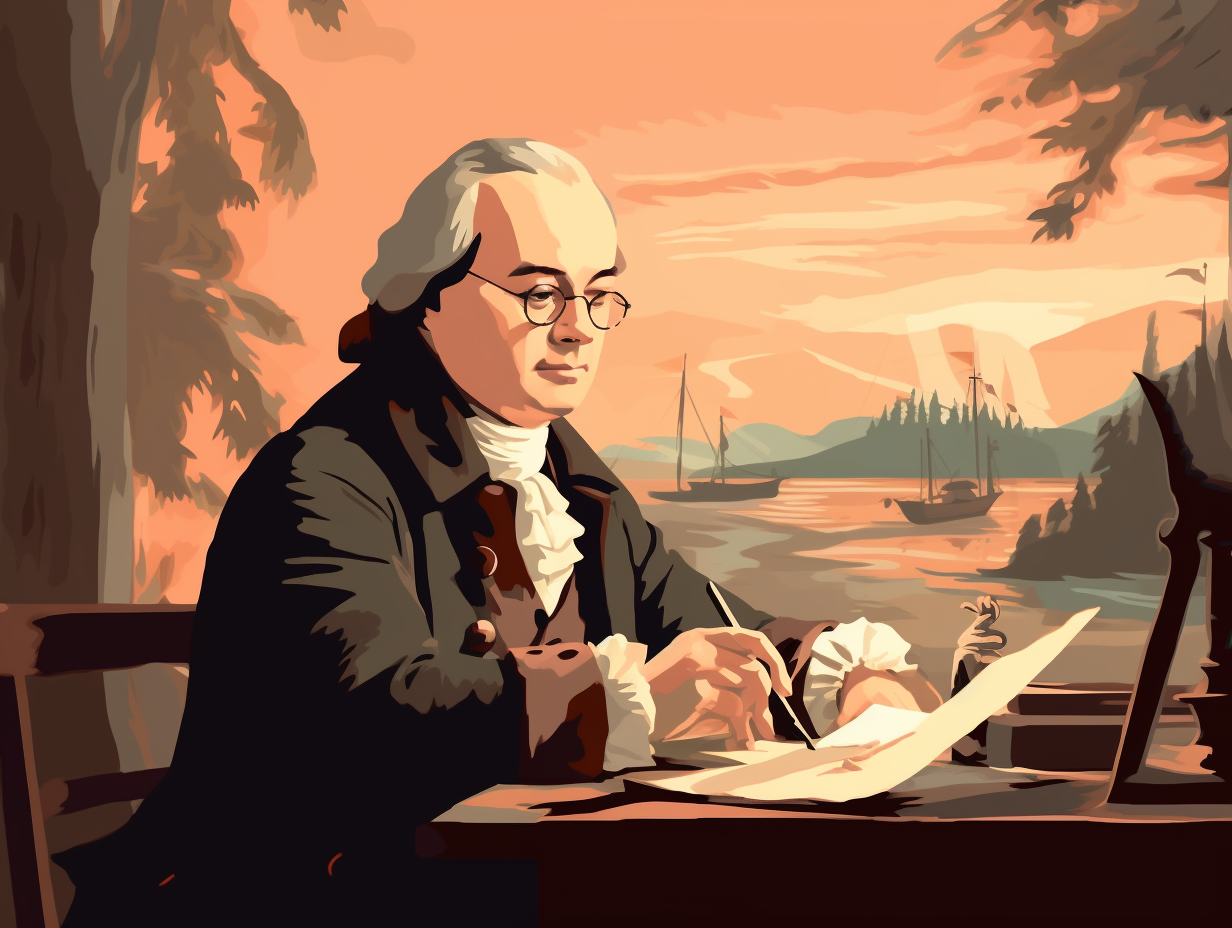
4. Seminary Dropout Discovers Cartographical Magic
Before GPS navigation and Yelp reviews, there was a man who decided to leave his life of religious devotion for a thrilling adventure to the realm of cartographical magic. Sayonara, seminary – hello, new discoveries: Robert de La Salle, originally a Jesuit novice, found his ultimate calling exploring the Great Lakes region and the Mississippi River, blazing a path for future adventurers to follow.
Source => historymuseum.ca
5. Ohio River Gets a Beautiful French Makeover
Although Robert de La Salle probably couldn't tell the difference between an Ohio and an Oh-Noooo, he definitely knew beauty when he saw it: In 1669, this French explorer came across the Ohio River, dubbed it "La Belle Rivière" or "The Beautiful River," and subsequently played a crucial role in establishing the waterway as a vital transportation and trading link for many early settlements.
Source => water.ohiorivertrail.org
6. Fort Crevecoeur's Hustle Goes South
From the lavish locks of King Louis XIV to the wild western frontier: Robert de LaSalle snagged a royal five-year patent and hustled his way along the Illinois River with a dream, a large dose of charisma, and a top-tier entrepreneurial spirit. The result: Fort Crevecoeur, a strategic alliance-builder with the Illinois tribe, which ultimately suffered an unfortunate fate of desertion and destruction by April 1680 due to scarce supplies and a shrinking crew.
Source => illinoisriverroad.org
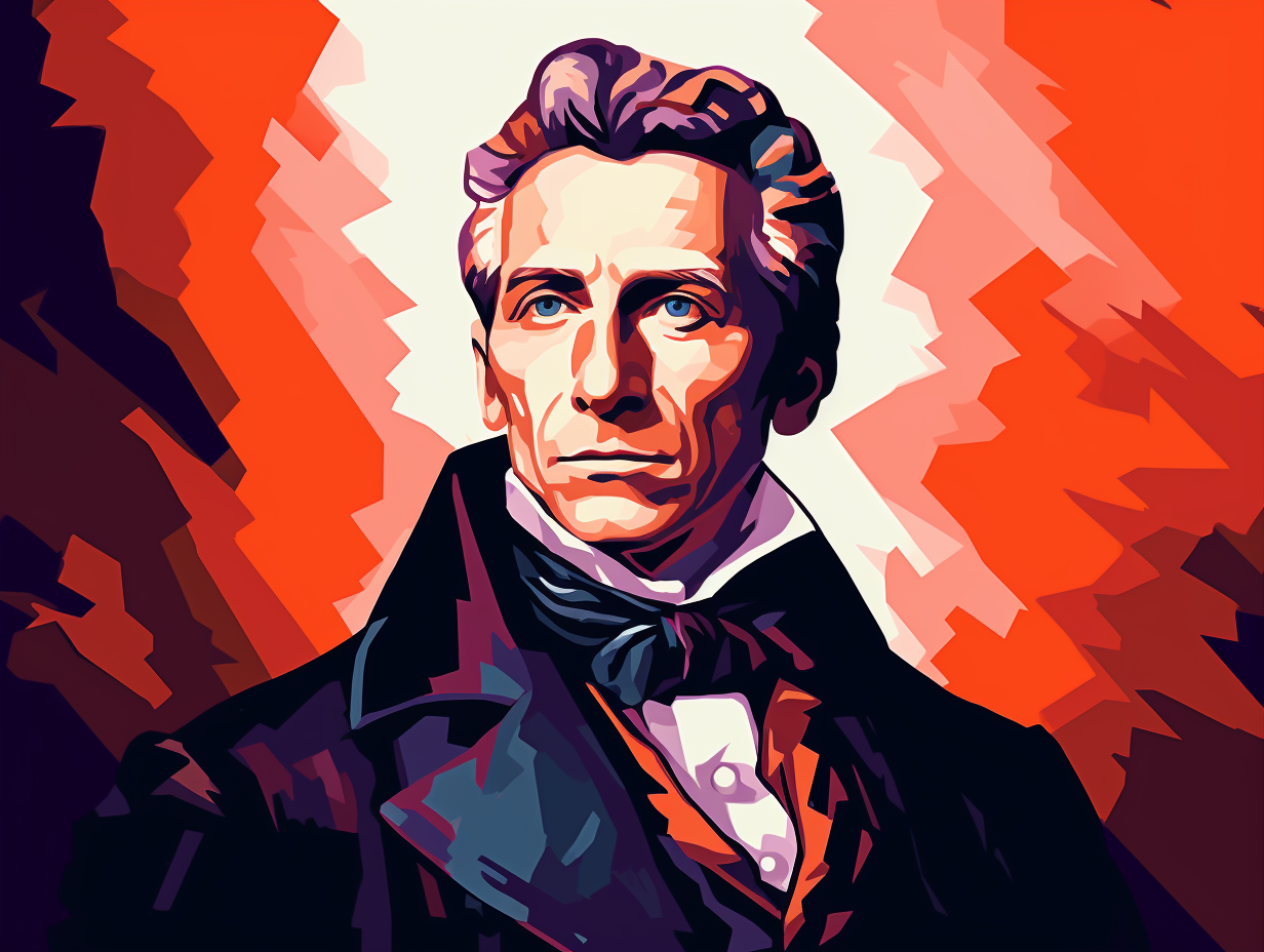
7. Roaming Charges & Wild Western Frontier
Navigating uncharted waters, averting calamities, and donning the kingpin explorer hat (all while avoiding the bad hair day, of course): René-Robert Cavelier, sieur de La Salle, was a French voyageur who took "roaming charges" to a whole new level. The serious reveal: La Salle was responsible for identifying the falls of the Ohio River, exploring Lake Michigan, and claiming the Mississippi River and its drainage basin for King Louis XIV, leading to the establishment of lower Louisiana and marking the first Gulf Coast expeditions by Europeans since the sixteenth century journeys of Pánfilo de Narváez and Hernando de Soto.
Source => 64parishes.org
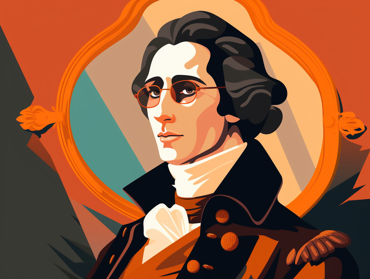
8. Bobby La-Sketch, The Mapmaker Extraordinaire
Before Google Maps, there was "Bobby La-Sketch" de La Salle, doodling away at North America's uncharted wilderness: This cartographically-crazed explorer not only had an affinity for the birds and the bees but also managed to scribble down some wildly accurate maps of the Great Lakes and the North American interior during his adventures in the name of science.
Source => en.wikipedia.org
9. Google Maps Could've Saved La Salle
If René-Robert Cavelier, Sieur de La Salle had Google Maps, the course of history might have taken a different route! This intrepid French explorer was so convinced that the mighty Mississippi River would lead him to China, he practically packed his bags full of fortune cookies: Alas, little did he know that his final expedition aimed at establishing a French colony on the Gulf of Mexico would face a series of navigational miscalculations and shipwrecks, resulting in his untimely death in 1687 at the hands of – wait for it – one of his own crewmates.
Source => biography.com
10. Buttered Biscuits and the Louisiana Claim
Well, butter my biscuits and call me a Frenchman: René-Robert Cavelier, Sieur de La Salle, claimed nearly all of the territory between the Saint Lawrence River and the Gulf of Mexico for France during his North American explorations between 1669 and 1687, establishing trade posts and forts throughout the Great Lakes region, including Fort Frontenac and Fort Miami, and even naming the territory Louisiana after his expeditions down the Mississippi River.
Source => encyclopedia.com
Related Fun Facts