Mapping Out Fun: Top 11 Surprising and Entertaining Facts About Maps You Never Knew
1. Warped World of Map Projections
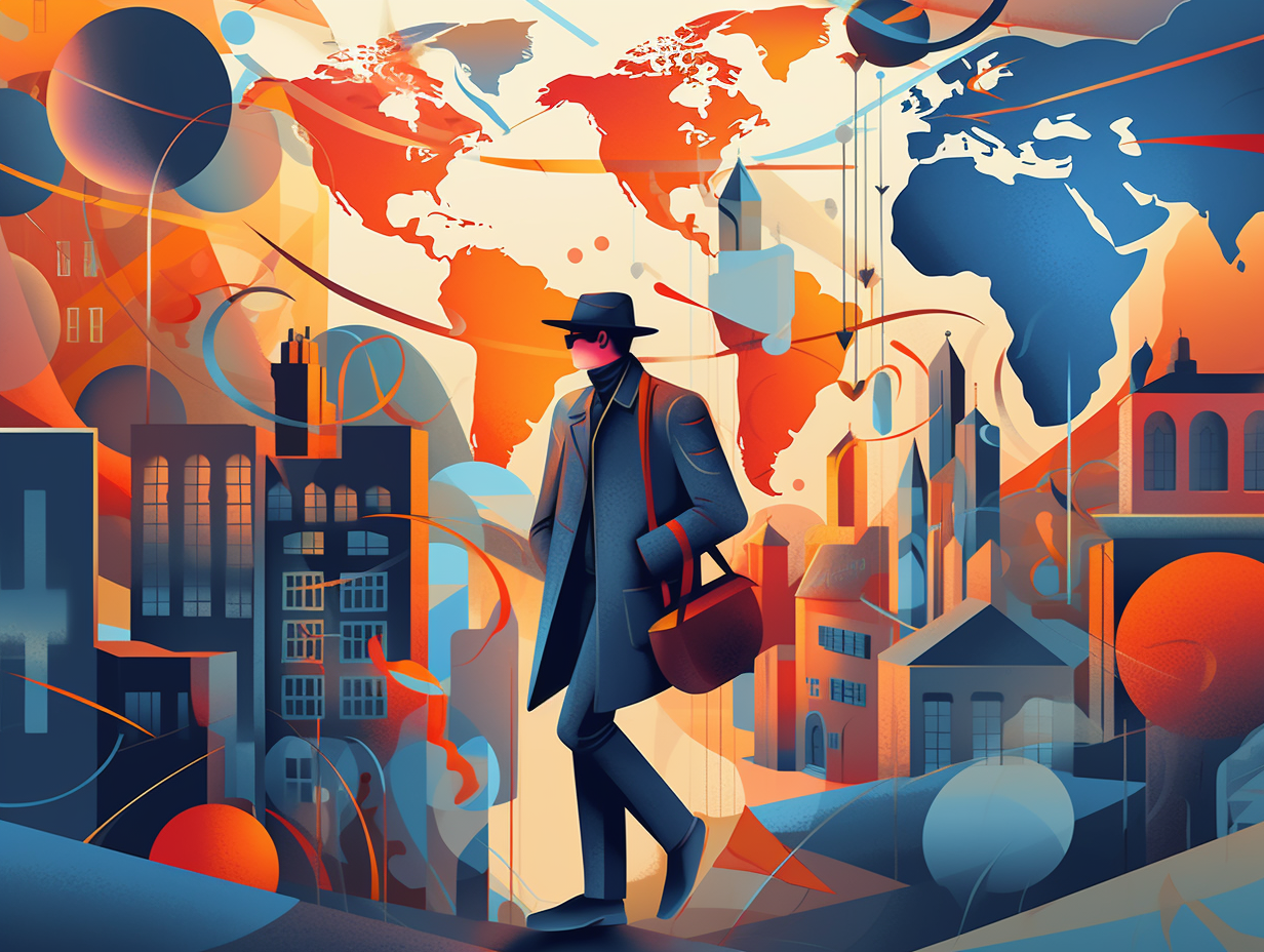
It's a warped world we live in, like trying to cram a beach ball into a postcard: map projections struggle to perfectly represent our 3D planet on a 2D surface. As a result, some maps preserve shape (Lambert Conformal Conic, you conformist!) while others take care of area (Mollweide's got your back). The dilemma of balancing shape, area, distance, and direction truly perpetuates the cartography conundrum!
Source => geography.hunter.cuny.edu
2. Treasure Hunt in the Rockies
When Forrest Gump said, "Life is like a box of chocolates," he clearly hadn't met Forrest Fenn, the enigmatic antiquities purveyor who turned the Rocky Mountains into a life-sized geocaching affair: In 2010, Fenn hid a treasure chest filled with $2 million worth of gold nuggets, gemstones, and pre-Columbian artifacts, then provided clues about its whereabouts in a poem. The elusive booty was finally uncovered in June 2020 by Jack Stuef, a sharp-eyed medical student, but not before at least two treasure hunters met their untimely demise and endless lawsuits lodged against Fenn.
Source => nytimes.com

Discover the VIP lounge of the avian world in Colombia's Sierra Nevada de Santa Marta, where 20 unique endemic bird species call home! 🐦🏔️
=> Fun Facts about South-America
3. High-Society Map Coloring
Breaking out the crayons after tea time: In the 19th century, high-society ladies entertained themselves by hand-coloring antique maps, which led to businesses today specializing in adding color to these relics for aesthetic purposes, while experts focus on identifying colorants for authentication, preservation, and restoration, all while grappling with the true age of maps due to their varying paper, ink, and coloring time periods.
Source => apps.lib.umich.edu
4. Sea Unicorns and Leviathans
Once upon a whale, unicorns of the sea rose to conquer the marine realm, inspiring mapmakers to turn them into leviathans: In reality, these seemingly mythical creatures adorned on medieval maps were representations of real animals like whales and walruses, symbolizing potential seafaring dangers, until science raised the curtain on cartographic accuracy, banishing these fantastical beasts from our maps.
Source => livescience.com

5. Jerusalem's Tic-Tac-Toe World
Once upon a medieval cartographic fantasy, where the world became a holy game of Tic-Tac-Toe: Jerusalem was believed to be the center of the world, with Europe, Asia, and Africa separating it by a massive T-shaped body of water in T-O maps, which were more of symbolic visual aids rather than accurate geographical representations.
Source => encyclopedia.com
6. Soviet Cartographic Secrets
In Soviet Russia, maps study you: During the Cold War, Soviet military cartographers meticulously and secretly mapped the entire world - down to individual buildings in the US and Europe - making them a "секрет" sensation. Today, the US State Department still relies on those classified Russian papers to demarcate international boundaries on official government maps.
Source => wired.com
7. America's Naming Rights
Talk about putting all your eggs in one basket, or shall we say, all your Waldseemüllers in one cartographer: It turns out that when it comes to naming America, one mapmaker had a pretty lasting impact! Serious reveal: The cartographer Martin Waldseemüller was the first to use the name "America" in honor of Amerigo Vespucci, and despite some debates over who discovered the New World, Waldseemüller stuck to his guns and continued to use the name America in his later maps and publications.
Source => theguardian.com
8. Sailor's Google Maps: Portolan Edition
Ahoy, matey! Feeling a bit lost at sea? Don't worry, 13th-century sailors had their own version of Google Maps to guide them, complete with doodles of harbors and handy "you are here" arrows: Behold, the mighty Portolan map! These cartographic gems featured rhumb lines, which were straight lines based on compass observations that helped sailors maintain a constant bearing. They were the go-to navigational aid for sea-faring folk who wanted to reach their destinations in the most direct, drama-free way possible.
Source => en.wikipedia.org
9. Ghost Island of Sandy Island
You might call it the ultimate in "here today, gone tomorrow": Sandy Island, a landmass charted by famous explorer Captain James Cook, turned out to be the cartographic equivalent of a ghost story! Factual statement: Discovered in 2012 by Australian scientists aboard the R/V Southern Surveyor, it was found that Sandy Island never actually existed, likely being a mix-up of pumice sea rafts from an underwater volcano and human error in mapmaking, resulting in the phantom island being erased from maps and data sets.
Source => en.wikipedia.org

10. Jane Austen: Map Colorist
When Jane Austen wasn’t penning novels or sipping tea, she had her hands artfully soaked in cartographical inks: Society ladies in the past spent their leisure time hand-coloring antique maps, a task that dedicated businesses still perform for aesthetic enhancement today.
Source => apps.lib.umich.edu
11. Antarctica: Balancing Act Continent
In a world where maps were drawn with the conviction of a drunk sailor, cartographers once played with the theory that weightlifting only worked at the North Pole: Enter the mythical continent of Terra Australis, designed solely to balance the weights on our biceps, aka the hemispheres. Little did they know, the map-wielding gym rats of the future would drop the barbell and coin the icy wonder we now call Antarctica.
Source => en.wikipedia.org
Related Fun Facts


